An old map is the most underrated tool in the hobby. The detector tells you what is under the coil right now; the map tells you where it is worth standing with a detector at all. The second decides more.
Below is the practical side of working with 19th-century topographic sheets and checking them against satellite imagery. How this looks on a phone is in old maps on your phone; you can georeference a scan in the Georeferencer.
Which symbols mean money
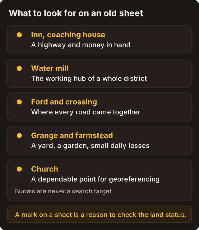
Pretty rivers and forests won't help you. What helps are the places where people stopped, paid and lost things — and they lost them where we do: at the inn, at the crossing, and on the way home.
| Symbol or feature | Why it matters |
|---|---|
| Inn, coaching house | A road, cash in hand, losses by the roadside |
| Water mill | An economic hub every farm in the area travelled to |
| Farmstead, hamlet | A yard, a garden, small everyday losses |
| Church, cemetery | An excellent georeferencing landmark; the burials themselves are off limits, see law |
| Roads and fords | The logic of movement: where people converged and crossed |
And always check the legend of the specific sheet: the same symbol can mean slightly different things across editions.
Scales and distance
The classic Russian three-verst sheet works out at roughly 1:126,000. One verst is 1.0668 km, which you can treat as a kilometre for field estimates.
For navigating the 1930s and 40s, Soviet military sheets at 1:100,000 and 1:50,000 are easier to work with. Of the other series, WIG in Poland, Messtischblatt in Germany and the Geoportail/IGN material in France are all useful.
The main thing is not to confuse centimetres on paper with the historical unit. Read the numeric scale on the sheet first, then everything else.
Finding a lost village
- Locate a farmstead, mill or inn on the old sheet.
- Georeference it using several control points: a church, a bridge, a distinctive bend in a river.
- Overlay the old layer on modern satellite imagery.
- Look for traces: patches of different tone in the ploughsoil, lines of former roads, vegetation anomalies where a yard once stood.
- Mark the candidates and check land status before you travel.
The overlay is what turns an "empty field" into a street that was there a century ago. Without it you're looking at the same field and seeing nothing.
Georeference drift
The commonest problem is the old layer sitting tens of metres out from GPS. You're standing on the "yard", and the yard was over there.
What helps:
- Take three to five reliable control points around the edges of the square you care about, rather than one in the middle.
- Don't anchor only to river bends: channels move, and a handsome meander may be younger than the map.
- Verify against a second independent landmark — if you referenced on a church, check against a road.
- If the drift is bad, re-reference the sheet or change source.
18th-century estate surveys are informative but have no coordinate grid, which makes them hard to place. For a start, the standard topographic and military series are easier.
Checklist
- Sheet chosen, legend read.
- Scale and units converted.
- The overlay agrees on at least two independent landmarks.
- Candidates marked, legal status checked.
The map should work as a grid plan, not as attractive wallpaper on the screen.
External references by series
- Historical mapping context for the UK: The National Archives — maps
- Polish WIG sheets: mapywig.org
- Find-recording culture (not a dig map): PAS