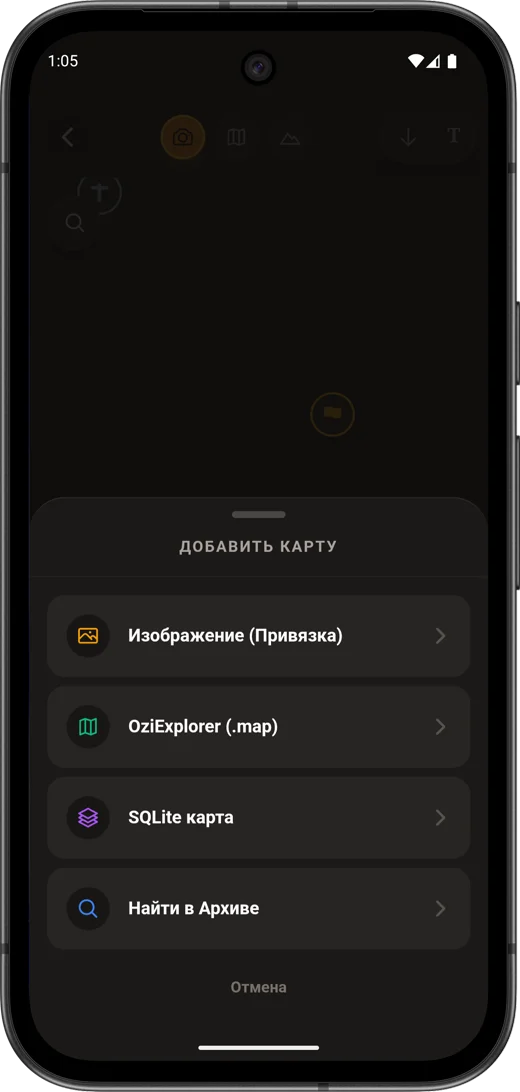
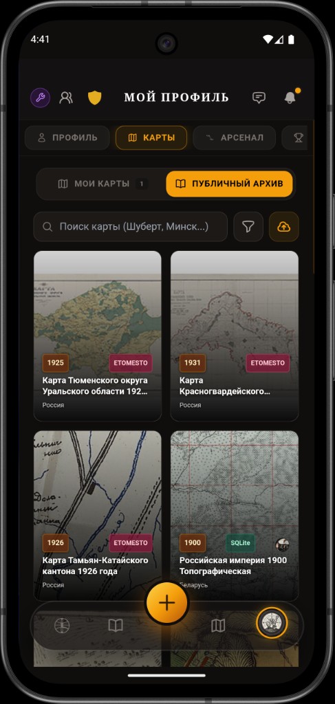
Archive maps partner
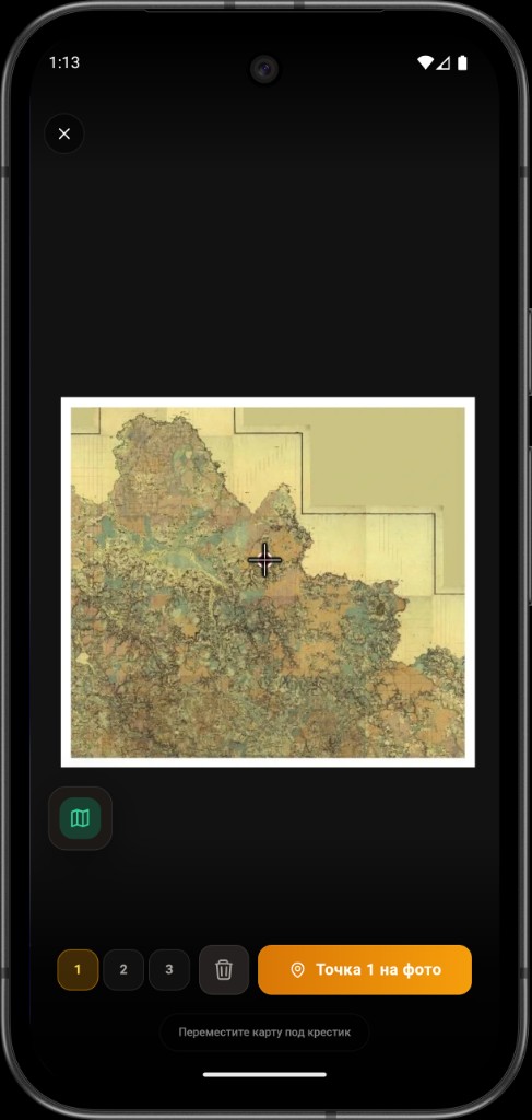
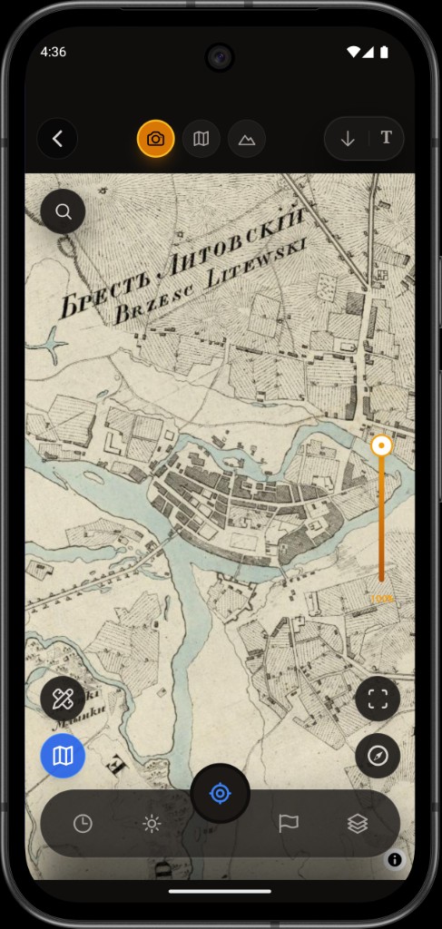
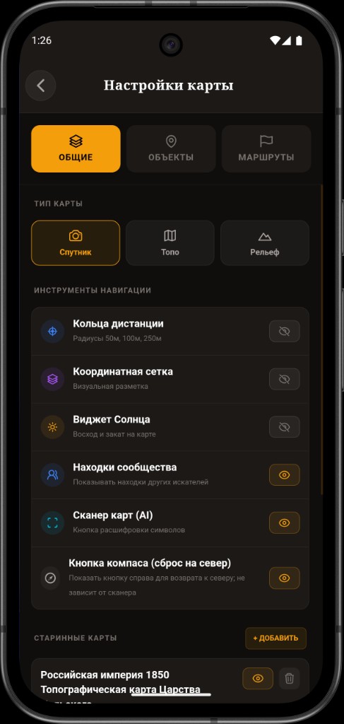
Discovera is connected to maps from the leading Etomesto cartographic portal
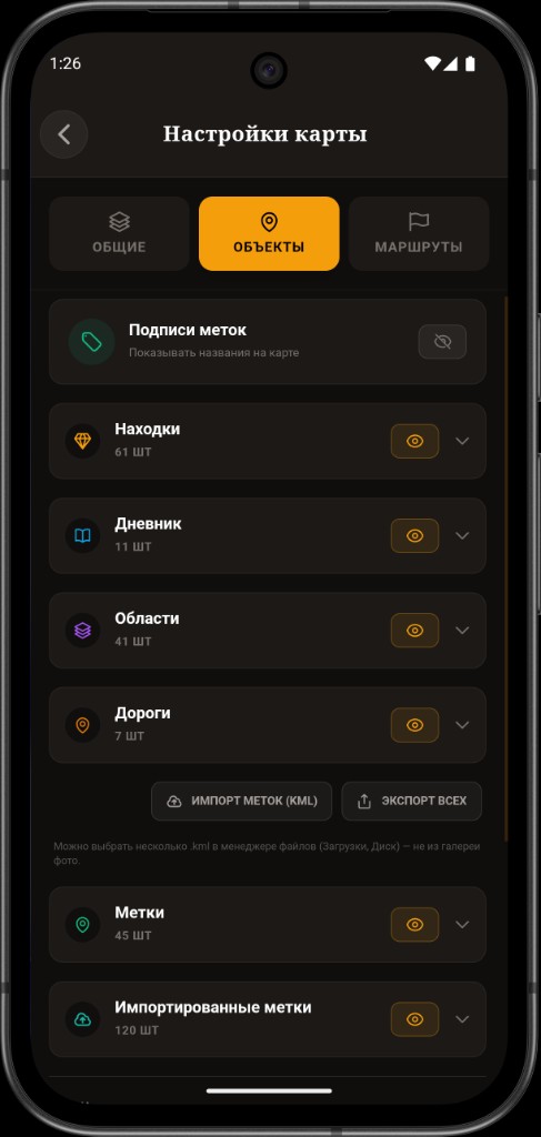
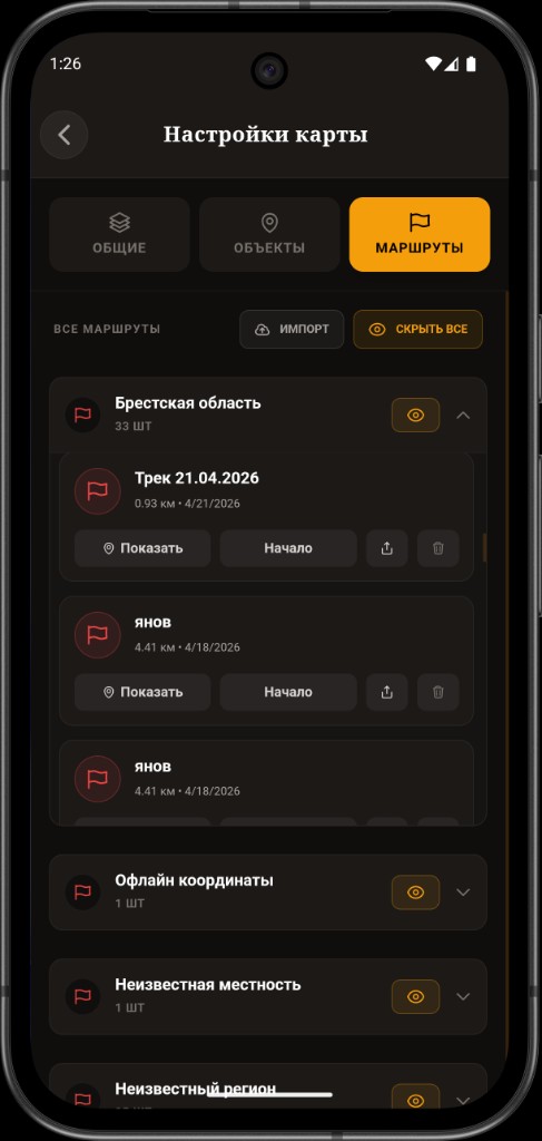
Etomesto archive maps are already integrated into Discovera workflows: find the right sheet fast, add it to your field set, and keep moving without jumping between services.
Open etomesto.ru