You do not need a “treasure radar”. You need an old map over a modern basemap: historical sheet + satellite/OSM + your GPS position.
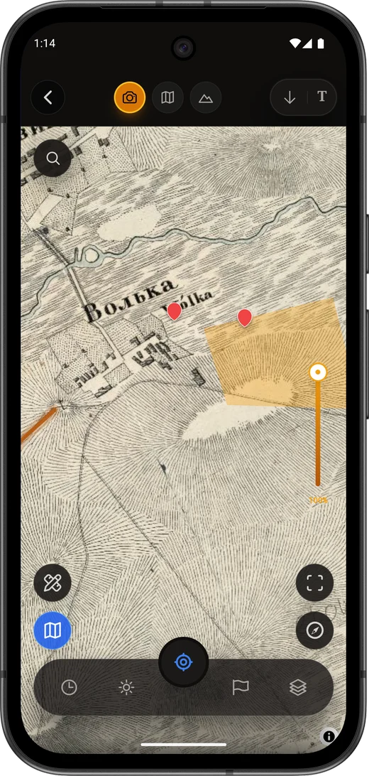
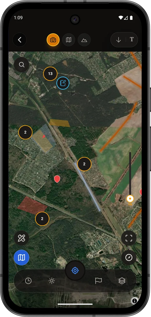
Why historical maps on a phone?
Vanished villages and roads
Gone from modern imagery, still on older topo sheets.
Find context
A pin on an 1860s layer explains a signal near a former inn — not “random field”.
Plan before you go
Mark a polygon, download offline, leave the network behind.
What a historical-map app must do
Layer opacity
Without opacity control, overlays fail.
Offline tiles / import
RMaps-style .sqlitedb is common. Discovera supports imports and offline areas; the site ships free georeferencer and tile preview tools.
Georeferencing scans
Raw scans need control points. Discovera covers the map loop; in the browser use Georeferencer.
Not a “treasure dump”
Publishing exact valuable find pins harms ethics and often law. Community archives should share basemaps and knowledge, not loot coordinates.
How to choose
Only browse old sheets
A narrow historical-map app may be enough.
Need diary + maps
Discovera is the coherent Android pick: layers, offline, marks, finds catalogue, AI photo help.Already live in a GPS navigator
Keep it for tracks, or move the main loop to Discovera on Android.
Which sheets to check by region
Sheet families differ by empire and archive — treat names as search keys, not a shopping list:
- Schubert / Mende (and similar 19th-c. topographic series) for Russian-imperial plough and homestead zones.
- RKKA / Soviet military sheets for mid-20th-c. roads, farms, and wartime layers.
- Local cadastral / estate plans when you need yards, mills, and field edges.
Match scale to the job (overview vs yard). How to read symbols and overlays: reading old maps. Workflow in the app: keep following this article.
Pre-trip checklist
- Pick a sheet for your region.
- Check georeference drift vs satellite.
- Download offline coverage.
- Respect private land, parks, heritage sites.
- Log marks and photos with context.
See also Reading Old Maps.
FAQ
Best app for old maps on a phone?
The one with overlay, offline, and honest georeferencing. Full Android loop → Discovera; map-only browsing → specialized map apps.
Offline without signal?
Yes — if you downloaded areas or imported a tile DB first.
Where to georeference a scan?
Legal archives + Discovera Georeferencer, then open in the app.
Is this legal?
Reading historical maps is fine. Searching/removing archaeological objects without permits is not. See Legal status.
Bottom line
“Old maps on phone for detecting” means overlay + offline + disciplined marks. Discovera packages that for Android and backs it with Academy guides and browser tools on mydiscovera.app.