 Google Play
Search by place name
Regions, districts and towns — in Latin or Cyrillic. No name in the description? We pick the frame by coordinates.
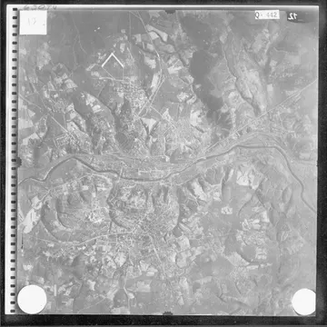
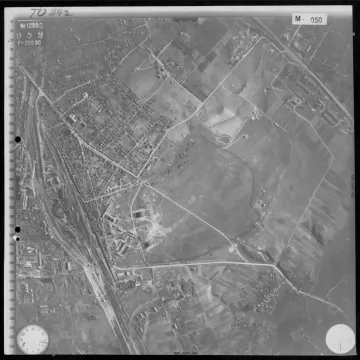
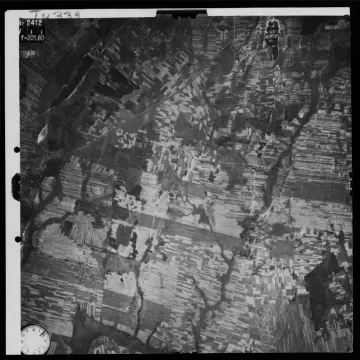
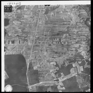
German reconnaissance photography of Belarus, western Russia and Ukraine, digitised by the US National Archives. We have worked out coordinates, scale and district names for it — so you can search by place name, not by film roll number.
Try the name of a region or town — in Latin or Cyrillic.
Regions, districts and towns — in Latin or Cyrillic. No name in the description? We pick the frame by coordinates.
The centre and footprint of every frame come from NARA data, north up. You can rotate a frame for free in the Georeferencer.
Discovera Maps for Windows downloads a frame at up to 3600×3600 pixels and builds a map for your phone.
The photos are US public domain and freely available in the NARA catalogue. You are not paying for them but for what the catalogue lacks: search by place names, coordinates and scale, georeferencing and a format the app can use.
They are German reconnaissance aerial photographs from 1939–1945, digitised by the US National Archives (NARA). We have worked out coordinates, scale and district names for them, so you can search by place name instead of by film roll number.
The scans themselves are US public domain and free in the NARA catalogue, and previews of every frame are open here. What you pay for is what the archive does not have: search by place names, ready coordinates and scale, georeferencing, and a map file for the app.
Type a region, district or town — in Latin or Cyrillic. If the name is not in the frame description, the search picks frames by coordinates, and the card says "found by coordinates".
Every frame is already georeferenced: the centre and footprint come from NARA data, north up. The aircraft heading was not recorded, so a frame sometimes needs rotating — you can do that for free in the Discovera Georeferencer and open the result in the app as a layer.
With Discovera Maps for Windows: it searches the same archive, downloads the frame in full resolution — up to 3600×3600 pixels — and builds a map file for Discovera on your phone. The key covers the whole program; we do not sell individual photos.